


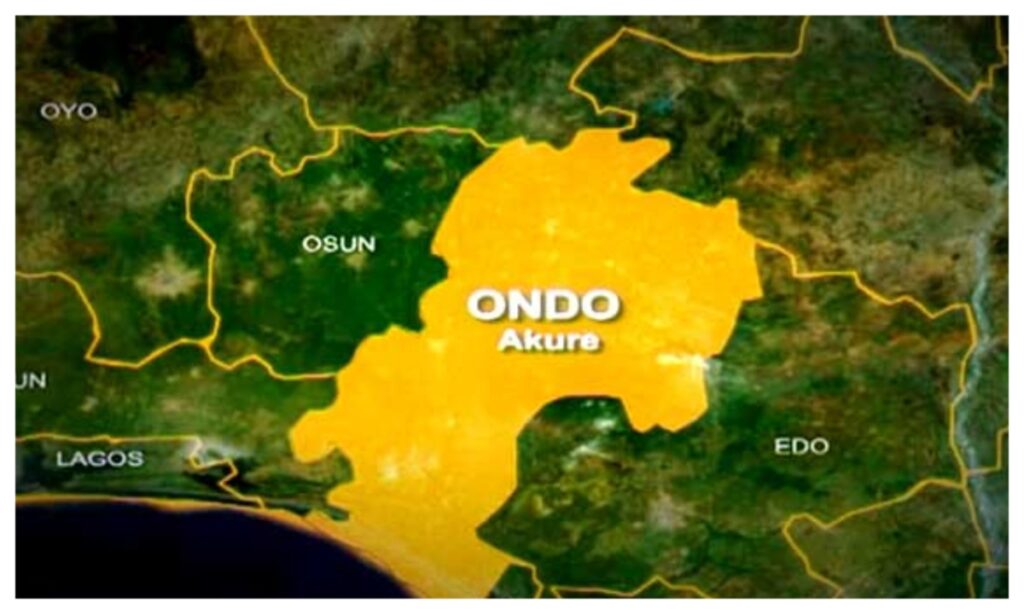
The controversy over the ownership of Eba Island between Ondo and Ogun states took another turn on Thursday as the Attorney General and Commissioner for Justice of Ondo State, Dr. Olukayode Ajulo (SAN), said archival materials from the United Kingdom showed the true ownership status of the oil-rich area.
Ajulo, in a detailed defence of Ondo State’s ownership of Eba Island, presented extensive historical, legal and geographical evidence to counter recent claims by the Ogun State Government over the island.
Briefing reporters, Ajulo said the dispute over the oil-rich island was “astonishing,” noting that official records and decades of administration had long recognised it as Ondo territory.
Presenting his report, Ajulo said:
“The Nigerian National Petroleum Corporation and other federal agencies visited the island on multiple occasions and, without equivocation, recognised it as belonging to Ondo State. Yet today, Ogun State lays claim to it. What has changed?”
Ajulo disclosed that the claims prompted him to conduct a personal investigation to verify the facts.
“I undertook a solo forensic study in the United Kingdom, consulting the British Library, the National Archives at Kew, and other repositories of colonial records. I examined original treaties, maps, intelligence sketches, cadastral surveys and gazette notices. Each document confirmed that Eba Island is an integral part of Atijere in Ilaje Local Government Area of Ondo State,” he said.
Ajulo provided a detailed account of the island’s historical trajectory.
“Before the 1914 amalgamation of Nigeria, Eba Island was part of the Ilaje/Mahin country within the Lagos Colony. In 1885, the Amapetu of Mahin signed a protection treaty with colonial authorities, bringing the Mahin Kingdom, including Atijere and Eba Island, under the aegis of the Lagos Colony.
“Following the amalgamation, the island became part of Ondo Province, specifically the Okitipupa Division, and was designated a forestry reserve under the Atijere Native Authority.”
Ajulo noted that by 1933, Atijere had emerged as the administrative headquarters of the district, hosting the Native Court where vassal chiefs appointed by the Amapetu presided over local affairs.
According to him, “Eba Island fell squarely under the authority of the Atijere Native Court. By 1950, it was incorporated into the Ilaje District Council, with Atijere as its headquarters. Through all subsequent local government reforms, including the creation of Ilaje/Ese-Odo in 1975 and the carving out of Ese-Odo in 1997, Eba Island remained, and continues to remain, part of Ilaje Local Government Area.”
The Attorney General emphasised the human and administrative dimension of the claim, noting that generations of Ilaje indigenes have lived, fished, farmed and worshipped on Eba Island.
He said they had never paid allegiance or royalties to Ogun State authorities.
“River Ufara serves as the natural and eternal boundary between Ilaje land and Ijebu territory. The facts speak for themselves.
“Under Section 44(3) of the 1999 Constitution and Item 39 of the Exclusive Legislative List, ownership of mineral resources vests in the Federal Government. However, derivation benefits and host-community rights under the Petroleum Industry Act 2021 are determined by territorial location and the identity of host communities.
“Ownership cannot be established through press releases, media narratives or opportunistic assertions; it is anchored in historical title, continuous administration and customary law. No gazette, court ruling or boundary adjustment has transferred Eba Island to Ogun State.”
Ajulo presented a catalogue of evidence from his UK research, including colonial administrative maps and boundary delineations from the Lagos Colony era confirming Eba Island as part of Ilaje/Mahin country under Governor Sir John Hawley Glover.
He also cited intelligence reports and provincial sketches of Ondo Province after the amalgamation, showing Ilaje District, including Atijere and Eba Island, under Native Authority control.
Other documents included treaty drawings and sketch maps from the 1885 protection treaty incorporating the Mahin Kingdom into the Lagos Protectorate.
Ajulo further referenced gazette notices, boundary adjustment records and ethnographic maps from the early 20th century placing Eba Island within Ondo jurisdiction, as well as forestry reserve plans and cadastral surveys from the 1930s confirming Atijere Native Authority oversight of the island.
He warned against attempts to inflame tensions over the dispute.
“Ogun’s assertions risk generating communal conflicts and undermining the peace along our shared coastline. Ondo State will defend its territorial integrity with every lawful means in the courts, before the National Boundary Commission and in the court of public opinion,” he said.
Ajulo called for calm and dialogue, stressing that the matter should be resolved constitutionally.
“Let there be no shadow of doubt: Eba Island is Ondo State’s yesterday, today and forever. The oil beneath it is a divine endowment for the people of Ilaje and for the development of our state.”