


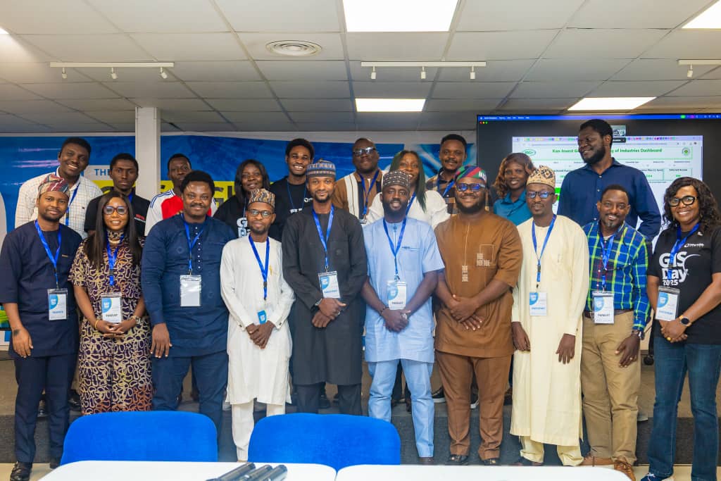
eHealth Africa has called for stronger collaboration and innovative use of Geographic Information Systems (GIS) to advance global health equity, as experts in geospatial intelligence and public health gathered in Kano to mark the 2025 World GIS Day.
The event, themed “GIS for Global Health Equity: Embracing the Geo-Generalist Era,” brought together innovators, health practitioners, researchers, and development partners committed to expanding the impact of geospatial technology across Africa.
Delivering the opening remarks, Mr Abdulhamid Yahaya, Deputy Director of Global Health Informatics at eHealth Africa, highlighted the role of GIS in shaping the future of health systems while underscoring the importance of cross-sector collaboration.
According to Abdulhamid, the theme for this year’s World GIS Day is inspiring as it reflects the critical role of GIS in driving global health equity. Yahaya said.
“In this room and across our virtual audience, we have innovators, practitioners, researchers, and advocates who have been applying geospatial intelligence to strengthen public health across Africa and beyond”.
He said, “GIS is most powerful when health experts, technologists, policy makers, and community leaders come together, share knowledge, align strategies, and co-create solutions.”
He added, “Your contributions are essential to driving meaningful impact. Today promises rich learning, innovative discussions, and forward-thinking action that will shape stronger, more equitable health systems across the continent.”
The call for multi-sector collaboration was echoed by Dr Dalhatu Aliyu Sani, Director-General of Kano Geographic Information System (KANGIS), who emphasised the progress Kano State has made in geospatial infrastructure.
Africa now ranks third globally in GIS-related public health publications, and renewed investments in enterprise GIS have strengthened Kano’s systems, generating over N750 million monthly in revenue compared to N50 million previously.
“GIS is no longer just about land administration,” Aliyu-Sani said. “It is about spatial data for planning, security, environmental monitoring, and sustainable development.”
Mr Oros-ghene Adia, Deputy Director and Technical Lead of the CORE Group Partners Project, highlighted GIS’s transformative role in disease eradication and health service delivery.
“GIS helps us understand where people live, where diseases occur, and how services can reach them effectively,” he said. “It has moved us from static paper maps to dynamic, data-driven decision-making.” He noted ongoing challenges, including limited skills and infrastructure gaps, but expressed optimism that advocacy and innovation would close these gaps.
Similarly, Dr Esther Shupel-Ibrahim, Chief Scientific Officer at NASRDA, emphasised the value of GIS and remote sensing for outbreak detection and health planning.
“If we rely only on traditional methods, we will struggle to address emerging challenges such as climate-driven health threats. GIS helps us predict, plan, and act,” she said, urging adoption of AI and modern geospatial tools.
The 2025 World GIS Day hosted by eHealth Africa featured presentations, panel discussions, and exhibitions showcasing innovations across health, agriculture, security, and urban development.
The event reinforced the message that collaboration across sectors, supported by geospatial intelligence, is vital for building equitable, resilient, and data-driven health systems; an effort eHealth Africa continues to champion across the region.