


The management of the Nigerian Maritime Administration and Safety Agency (NIMASA) and the National Hydrographic Agency (NHA) are exploring avenues to enhance the use and patronage of locally developed nautical charts and other hydrographic communication tools as part of efforts to advance maritime safety in Nigeria.
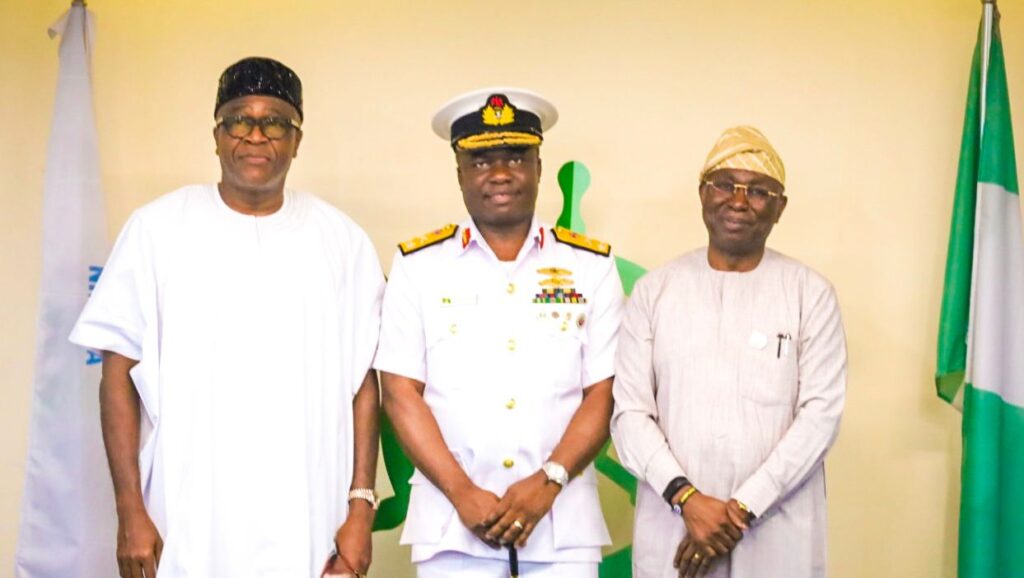
The agency’s Deputy Director/Head, Public Relations Unit, Osagie Edward, explained that this formed the thrust of deliberations when the Hydrographer of the Nation, Rear Admiral Olumide Fadahunsi, paid a working visit to the management of NIMASA.
He noted that Fadahunsi assured NIMASA of continuous cooperation in the provision of hydrographic services to Nigeria’s maritime sector.
He noted that the increased compliance with locally generated hydrographic information would improve navigational safety, maritime security, and the effective management of Nigeria’s territorial waters.
According to Fadahunsi, “hydrography remains a critical component of maritime safety and national development. Strengthening collaboration between the National Hydrographic Agency and NIMASA will enhance navigational safety, improve maritime security, and support sustainable growth within Nigeria’s maritime domain.”
Also, the Director General of NIMASA, Dr Dayo Mobereola, stated that the agency was focused on strengthening Maritime Safety Information (MSI) infrastructure, enhancing enforcement strategies, and promoting continuous capacity building to improve hydrographic services in Nigeria, adding that collaboration with NHA was central to achieving these goals.
Mobereola said: “At NIMASA, we recognise that effective collaboration among maritime institutions is essential to achieving safer and more efficient waterways. We remain committed to supporting initiatives that strengthen maritime safety, improve operational standards, and enhance the overall growth of Nigeria’s maritime sector.
“The collaboration between both agencies is expected to further strengthen maritime administration and support NIMASA’s statutory mandate of ensuring safety of navigation and shipping in line with the provisions of the NIMASA Act, particularly through the deployment and enforcement of accurate and up-to-date navigational charts essential for safe and efficient maritime operations.”